PicasaWeb(不是Picasa喔,一定要有"Web")的版本是 2.5.0 (Build 32.71,0)以上。
還要有最新的google earth,版本是4.0.1693。
操作說明
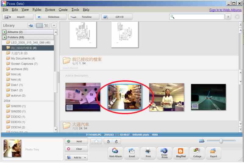
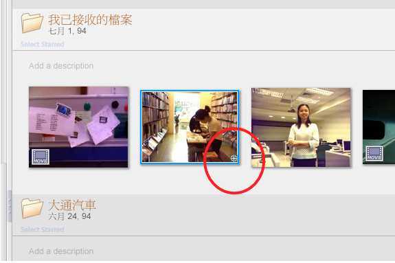
打開PicasaWeb,找到你要tag的照片
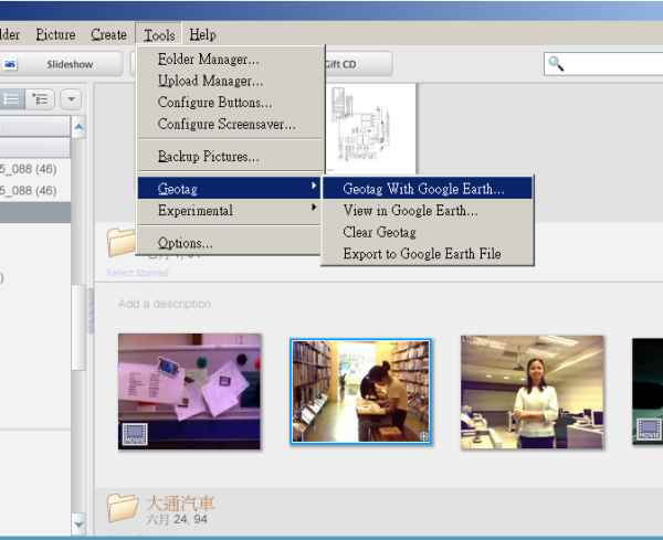
然後選Tools-Geotag-GeoTag with Google Earth
GoogleEarth會自動打開,
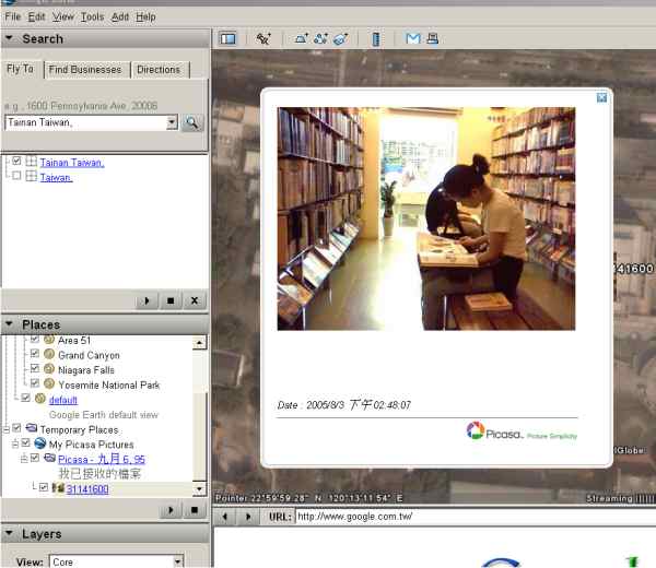
在左邊的位置輸入你拍照的地方(這一張是謙哥在成大圖書館拍的,所以輸入 Tainan Taiwan..

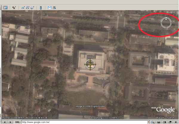
GoogleEarth就會帶你到台南的中心,用右邊的icon(會變化喔),找到成大圖書館..看到,有個十字箭頭..
讓十字箭頭標示在圖書館後,在右下角的照片作對話框上選"Geotag",然後選"Don"

你就可以看到圖書館上有一個小小的照片縮圖,還有作邊的tag folder會出現新增的照片tag
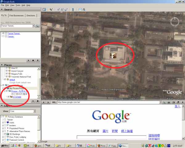
以後,點選地圖上的小照片icon,就會出現大照片。
OK,可以關閉GoogleEarth了,會詢問你要不要update到folder,說OK就可以。
做完geotag的照片,在PicasaWeb上會出現一個小十字。
選Tool-GeoTag-View In GoogleEarth

就會自動打開GoogleEarth,並且值些顯示照片的位置喔:

附記:要是覺得以上動作很麻煩,可以買倚天出的 PDA手機,那個手機照的相片直接支援geotag,只要用PicasaWeb import照片後就OK囉。
沒有留言:
張貼留言